Imagine you are in a totally dark room. You have a ball in your hand. If you throw the ball in each direction and notice the time it takes to hit the wall and bounce back to you, you will be able to determine your approximate position within the room.
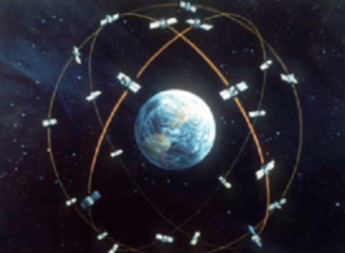
The Global Positioning System (GPS) works based on a similar concept. There is a network of GPS satellites orbiting the Earth. These satellites constantly broadcast radio signals with their current position and the exact time the signals are sent.
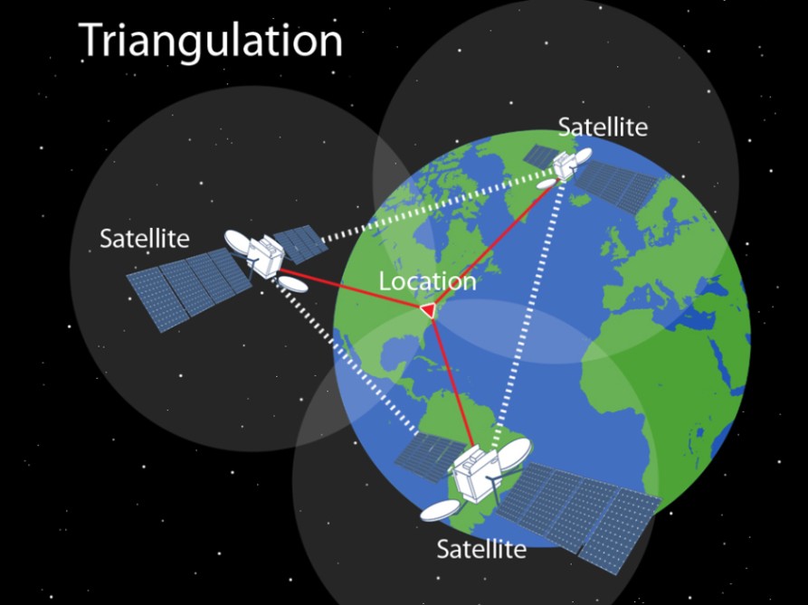
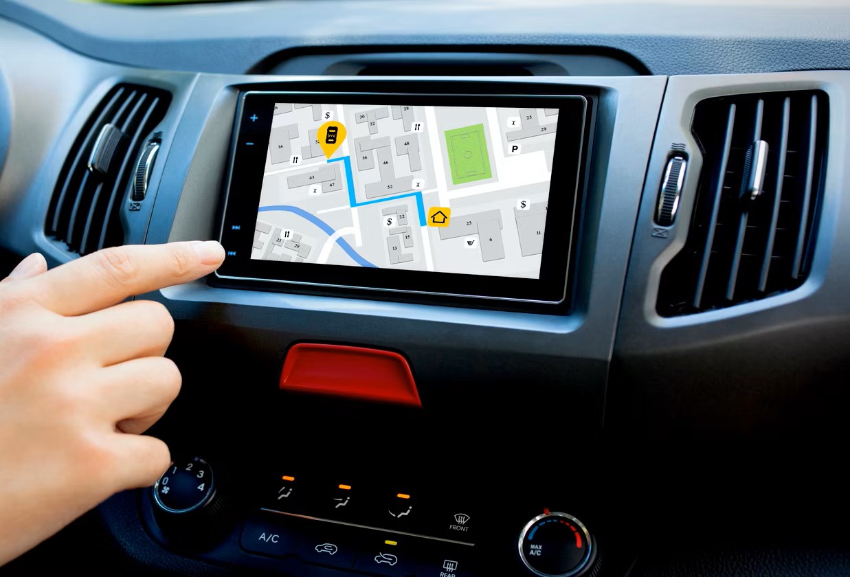
A GPS receiver, like the one in your phone, picks up these signals and calculates the duration it took for the signals to reach the device. Based on this duration and the speed of light, the GPS device can determine how far away each satellite is. Distance = Speed x Time.
By doing the same kind of calculation for at least four of the satellites at the same time, the receiver can figure out your precise location and altitude through a process called trilateration. The actual detailed calculation would be much more complex, this is just an abstract explanation.
Who Owns the GPS
The GPS is owned by the United States government and operated by the U.S. Department of Defense. It was originally developed for military purposes. The idea was to create a system that could provide precise navigation for military forces, especially in unfamiliar or hostile territories.
In the 1980s, the U.S. government decided to make GPS available for civilian use. This decision came after a Korean Air Lines flight was shot down in 1983 because it strayed into Soviet airspace. The tragedy highlighted the need for better navigation tools for civilian aircraft. By the mid-1990s, GPS was fully operational and available to the public, providing a powerful new tool for navigation.
Accuracy
The GPS signals available to the public are slightly less accurate than those used by the military. The U.S. Department of Defense maintains a more precise version of GPS for its own use, which provides even more accurate location data.
Other Countries
Several other countries have developed their own global navigation satellite systems. Russia has GLONASS, the European Union has Galileo, and China has BeiDou. Each of these systems works similarly to GPS, using a network of satellites to provide location data.
Some other countries also have their own navigation system, but they are mostly regional. For example, Japan has the Quasi-Zenith Satellite System (QZSS), which works with GPS to improve accuracy in Japan and surrounding areas. India has the Indian Regional Navigation Satellite System (IRNSS), also known as NavIC, which provides coverage over India and the surrounding region.
Commonly Used
Most mobile phones primarily use the U.S. GPS for location services. However, many modern devices are capable of using multiple systems to increase accuracy. This means your phone might use GPS, GLONASS, Galileo, and BeiDou simultaneously to give you the most precise location data possible.
Reference Links:
https://novatel.com/support/knowledge-and-learning/what-is-gps-gnss
https://spaceplace.nasa.gov/gps/en
https://www.space.com/gps-what-is-it