When we were kids we thought people in Antarctica would be standing upside down since it is at the bottom of the earth. Then we realized it’s not true. But we still think of north as an upward direction and south as a downward direction. In reality, there is nothing upward about North and nothing downward about South. There is no up or down in the Solar System or the Universe. It is just the way our maps are drawn.
So, who put North at the top?
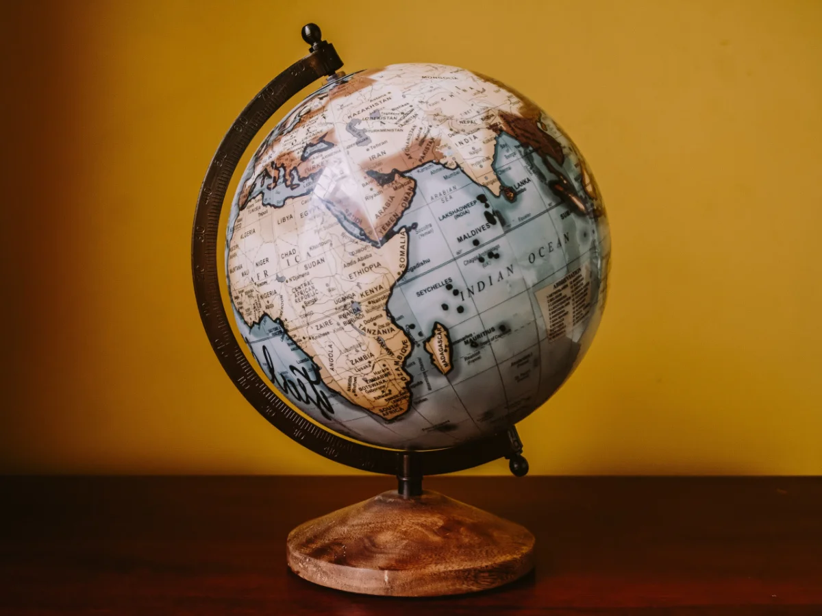
During medieval times, many maps were made by people in Europe and the Middle East. These places were very important for trade and travel. When European explorers started sailing around the world, they used maps that had North at the top. This made sense because they used the North Star to navigate. The North Star is always in the same spot in the night sky, so it was a reliable guide. This made the North important for travelers and mapmakers.
Cultural Dominance
As European countries became powerful, they spread their way of doing things around the world. This included their maps. Over time, the idea of North being up and South being down became the standard. Schools taught it, and it became what everyone expected to see.
Look at this image:
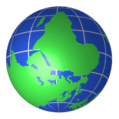
Our intuition would say this is an upside-down image of the Earth. But that’s only because we are used to seeing North at the top. In reality, this is a perfectly fine image of the Earth.
Different Perspectives
There were also maps that did not have North at the top. In ancient times, some maps from China had South at the top. This was because they saw the world differently. For them, South was associated with warmth and life, while North was cold and dark. Islamic maps from the Middle Ages often had East at the top. This is because Muslims pray facing Mecca, which is in the East from many places.
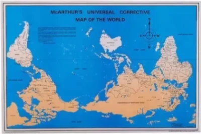
There are also modern maps that flip things around. These are sometimes called “South-Up” maps. They remind us that the way we see the world is just one way of looking at it. By putting South at the top, these maps challenge our usual perspective and show that there’s no right or wrong way to draw a map.
Psychology of Maps
People often associate north with positivity and south with negativity because north is at the top of the map and south is at the bottom. Maps are powerful tools.
They show us not just where places are, but also how we see the world. When European countries made maps, they often put themselves in the center. This made them look more important. For example, the famous Mercator map, used for navigation, makes Europe and North America look bigger than they really are compared to places near the equator. This can affect how we think about different parts of the world.
Reference Links:
https://en.wikipedia.org/wiki/South-up_map_orientation
https://www.bbc.com/future/article/20160614-maps-have-north-at-the-top-but-it-couldve-been-different
https://www.geospatialworld.net/blogs/why-maps-point-north-on-top/